490 x 760 mm., folded as issued in very good condition.
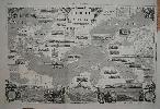
This map of the Baltic Sea cut by W. Thomas was issued as a Supplement to the Illustrated London News on 31 May 1856. It contains numerous vignette views of ports and harbours in the Baltic Sea. It features many of the sites of military conflict during the recently ended Crimean War especially St. Petersburg and Cronstadt. The verso bears a large double view of 'The Fleet At The Great Naval Review, At Spithead, April 23, 1856. - Drawn by E. Duncan'.